
|
WV Loop to Huntington: Sept 24-26, 2010 |
|
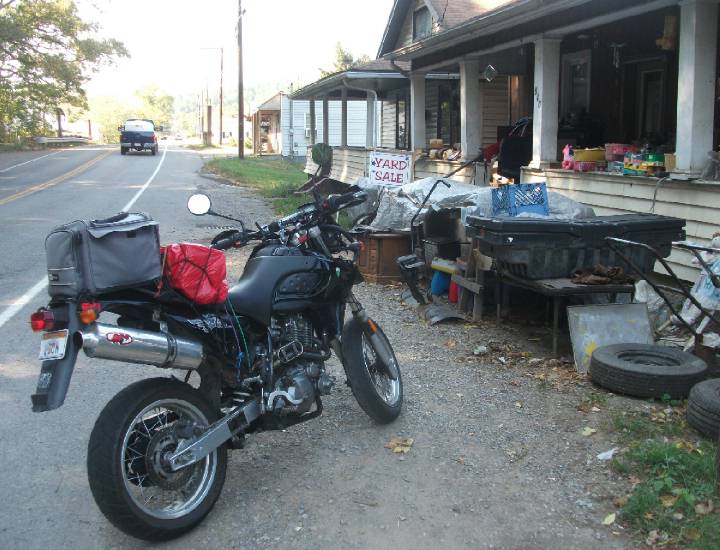
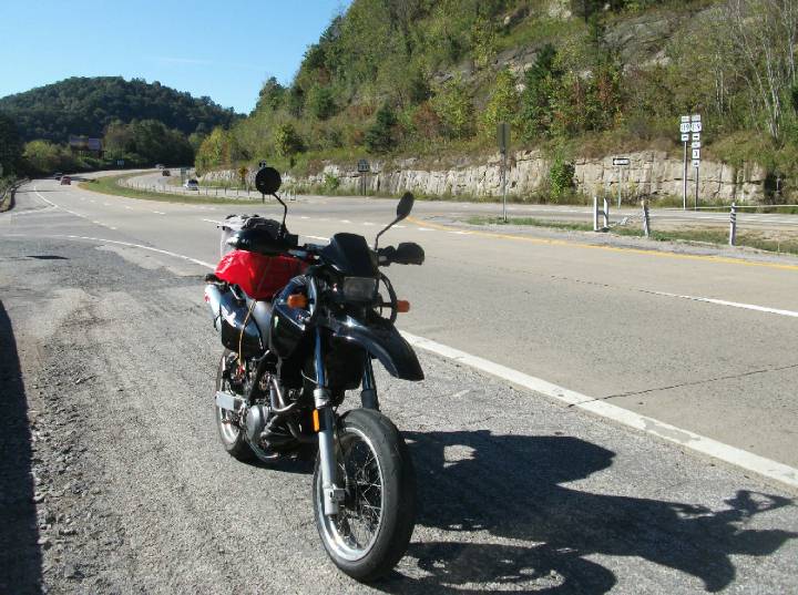
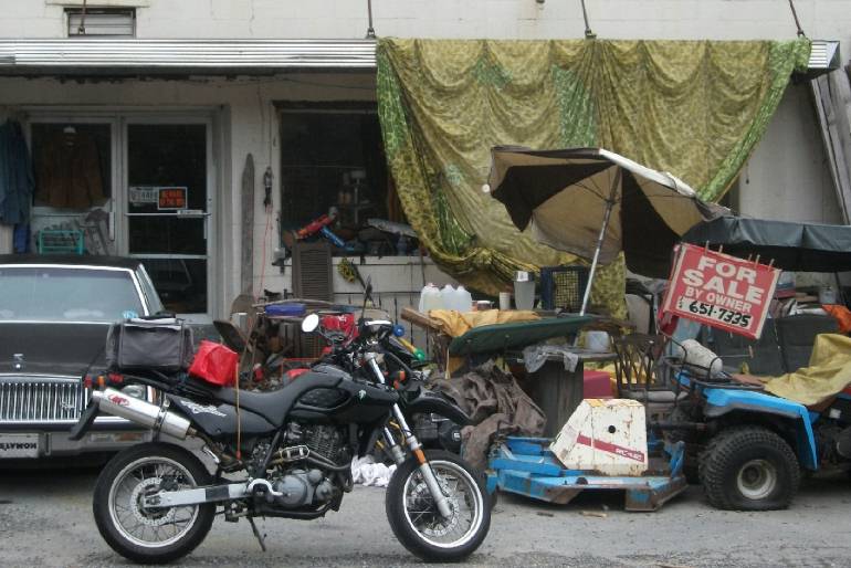
The weekend forecast was great, giving me a great excuse to get away for the weekend, and do a nice loop within West Virginia. One of my objectives is to visit as many county seats as I can, photographing the courthouses along the way, which is an interesting study in itself. Not to mention the varied scenery we have in this state. I trust that my MZ Baghira will get the job done. This trip will prove to be an epic adventure, so sit back, grab a coffee while giving a chance for all the pics to load. So, I take off from work around 2pm on Friday, and head south towards Lost Creek, then meet up with US 19 at Jane Lew, and then it's onto Weston. There I stop by one of those junk-on-the-porch sales, which are common in this state as we shall see. The place was closed so I keep going.
From Weston I take US 33 west and then grab WV 47 west. It's a great twisty road leading up to Smithville where it intersects
WV 16.
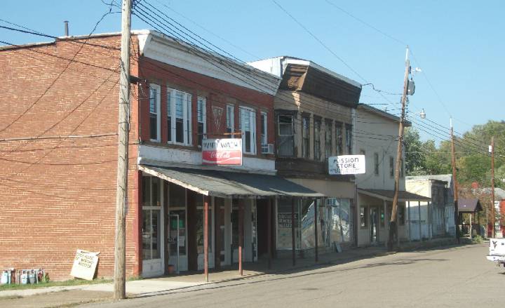
WV 47 then leads me to WV 53 and to Elizabeth, the county seat of Wirt county, one of the smallest counties in the state.
This is about the extent of downtown Elizabeth:
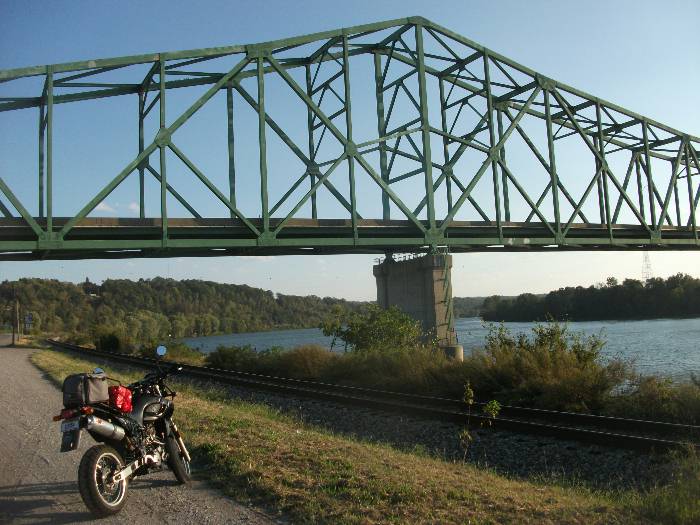
Now I take WV 14 north to Mineral Wells just south of Parkersburg, where I then grab WV 95 westbound to WV 68 south to Ravenswood.
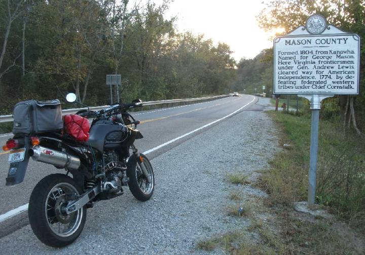
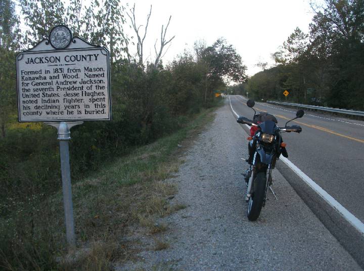
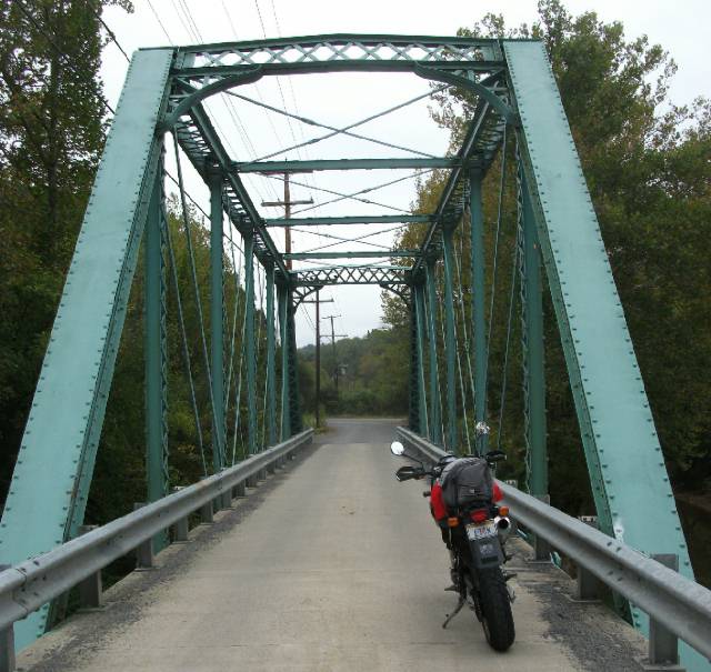
I continue on WV 68 south, under the bridge, then hook up with WV 2 south to the Mason / Jackson county line.
And looking back, we see I came from Jackson county. Ripley is the county seat for Jackson and Point Pleasant is the county seat
for Mason.
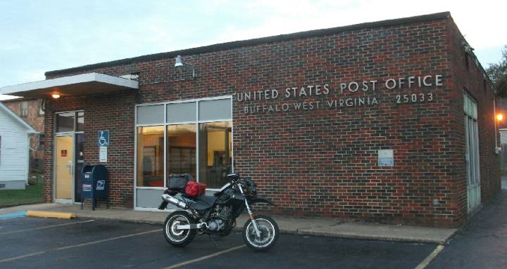
Onward and upward, by now it's early evening, as I then meet up with WV 62 south and follow that along the Kanawha river, passing through a small town called Buffalo, which is similar to that of NY in name only.
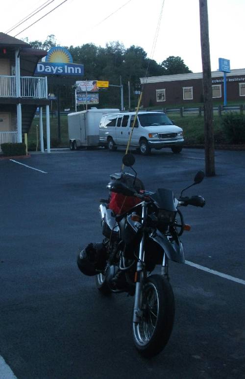
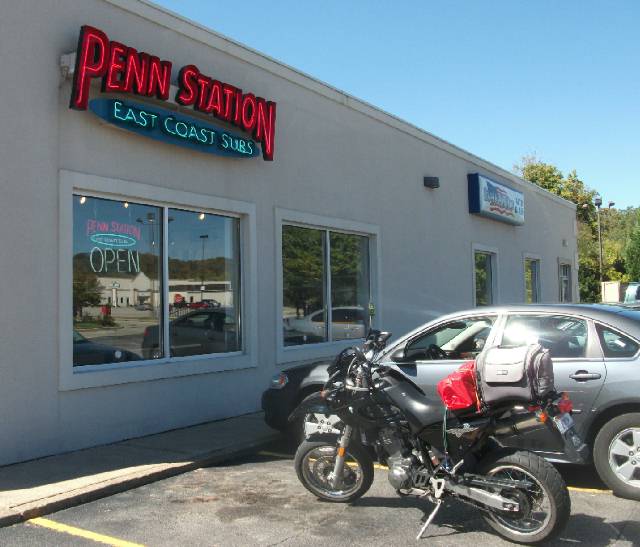
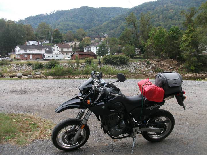
I then reach a bridge that crosses over the Kanawha to Winfield, county seat of Putnam county. By then it's getting dark, so that courthouse will have to wait another time. So I bypass that, and head south on WV 34 to Hurricane and it's dark by the time I get to US 60, which I then head west past Barboursville onto Huntington where I spend the night at a Day's Inn. After I settle in, I grab a delicious sub at the Penn Station and after I get back to my room and crash, it starts to downpour.
But by morning, it's beautiful and sunny, and noticeably cooler. Talk about great timing!
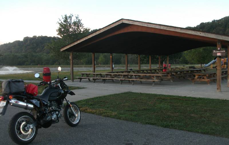
Next I show up at Barboursville Park and chill.
By early afternoon I'm hungry again, so I just gotta get back to Penn Station to once again get their Chicken Parmesan Sub. Now, I hate to give Subway a bad rap, 'cause I'm a regular customer, but these guys put Subway to shame. Too bad there isn't one of these back home.
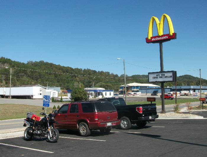
While I'm chowing down on my sub, I see through the window, two dudes looking over my Baghira. That's just it, young guys are naturally drawn to bikes, especially gnarly looking ones like mine, LOL. Well, turns out they both have KLRs, except a dual-sport set-up, and get this, were planning an ambitious trip taking in both Alaska and Mexico. Wow, makes my West Virginia circuit seem like nothing. I told them I'm Tigerboy at advrider.com and hoped they'd get in touch with me, letting me know how it goes. One of the dudes was from Louisville (or Kentucky, anyway) and the other, from Utah. They'd start their trip in Utah. After I wished them well, it was time to move on, heading south on WV 10 to Hamlin, county seat of Lincoln county. As I head down this windy road I am starting to feel drowsy. Not good, cause I have a lot of ground to cover today! So I stop at McD's for a nice medium sized coffee, and hot fudge sundae. That wakes me up :-)
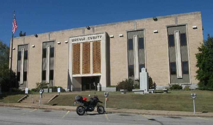
Hamlin has an art-deco style courthouse. There's another county in WV that has this exact same style and I'm trying to remember which one.
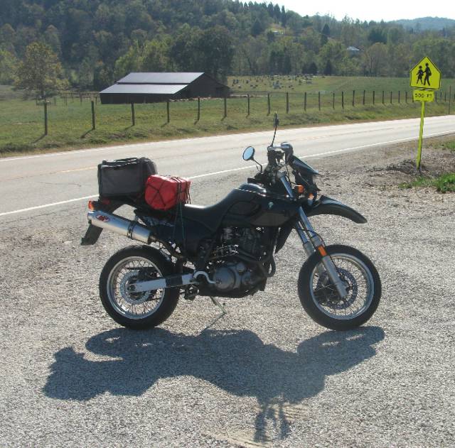
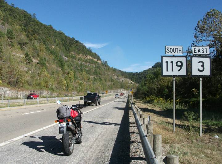
I get WV 3 from WV 10 shortly after Hamlin which takes me to US 119, which is a wide corridor. For those of you who notice route signs will note the error here. The US 119 sign should be a shield, not the square used for WV routes. Looking southbound:
And then northbound from where WV 3 merges with this highway. Again, dig my MZ shadow.
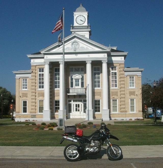
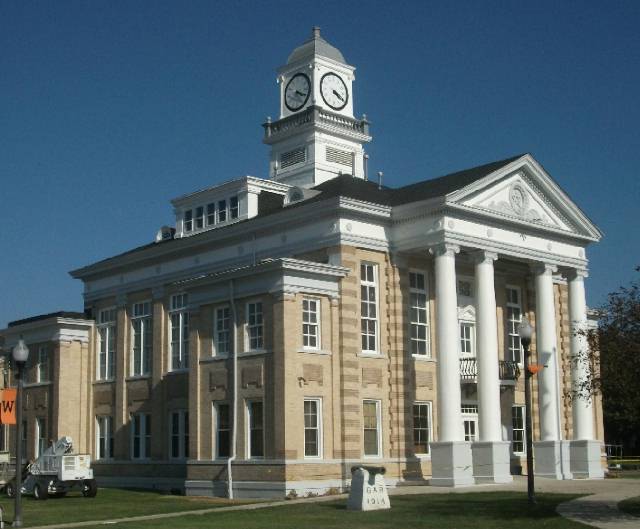
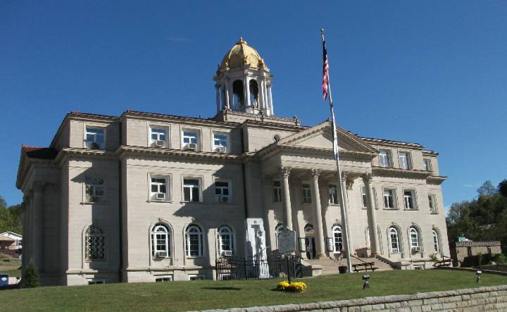
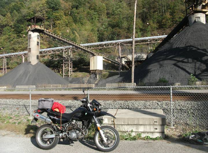
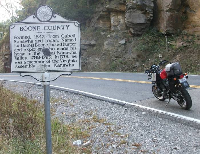
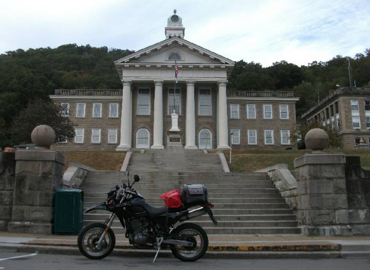
I take this south a few miles to WV 85 which will take me to Madison, county seat for Boone county. Now, this is significant for me, because Boone happens to be the last county I needed in order to say I've visited all 55 of them. And what better day than this to photograph the courthouse. Turns out the courthouse is a lot more stately than the rest of the town suggests, making me wonder that the population here was much greater at one point.
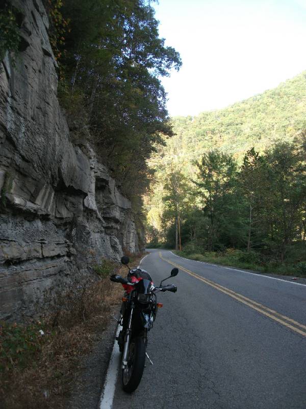
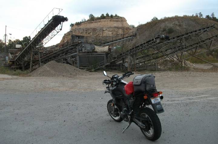
WV 85 takes you right through Coal Country, with impressive rock faces and gigantic coal mining operations.
This is the area where
most of the WV coal comes from nowadays.
I like how the black of coal blends in with the black of my Baghira :-)
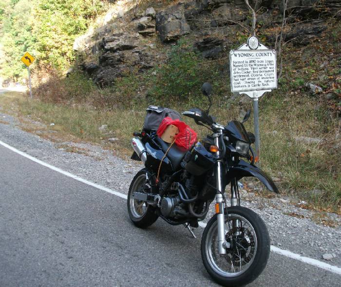
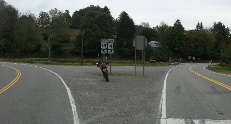
Next I cross into Wyoming county from Boone county as illustrated by yet another double sided sign.
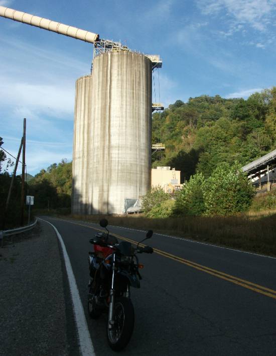
On WV 10 towards Pineville I pass by a huge coal silo.
The Wyoming county courthouse in Pineville is pretty impressive.
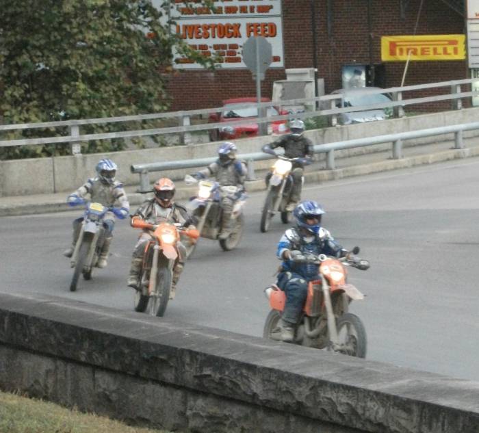
While I'm on the courthouse mound, wait, what is it that I here in the distance? It sounds all too familiar Could it be .......... yeah ... dirtbikes! No doubt exploring the Hatfield McCoy trails in the area.
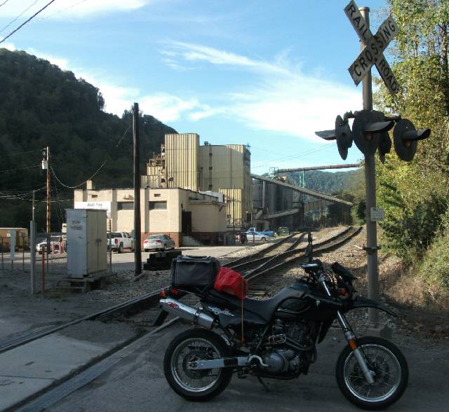
Next, I get on WV 97 that crests at yet another coal mining operation of some sort. Actually I think it's just gravel.
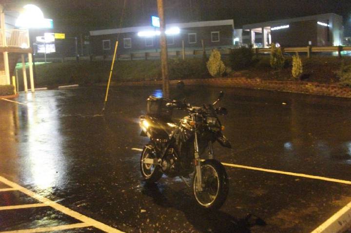
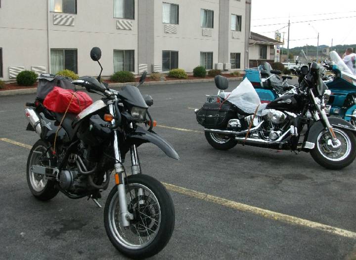
After that, WV 97 gets very twisty, a great ride, as it descends to WV 54. I then take that to WV 16 where I soon myself into Beckley. At this point I start looking for a motel/hotel but for some reason I either miss them or none can be seen, \ despite it being very commercial along this route. By the time I get to the other side of Beckley it has gotten dark, and I'd rather find a place to stay than ride the remaining 100 miles home in the dark. I stop at a gas station just off US 19, and lo and behold I meet those same two dudes who were admiring my Baghira at the Penn Station sub shop near Huntington earlier that afternoon. I mean, what are the odds of running across the same two dude again?! They once again admire my Baghira, and while they were looking for a campsite so they could then go whitewater rafting the next day, I was looking for a hotel. I finally settled on a Super 8. Another good reason for finding a hotel was so I could catch the WVU-LSU game. Well, you know what team I was rooting for. And I checked in just in time, for the game just got started at 9:30pm. I blinked and LSU was up 10-0 and I blinked again and it was then 17-0. They were doing grr-r-reat! Then I dozed off (I had a very long day of intense riding) and then the score was 17-7. How did that happen?! I figure I'd better make some coffee to keep me awake. It worked. The final score was 20-14, the difference being the field goal attempts that WVU failed, or if WVU had gotten one more touchdown, they would have won the game. So, it was close. Of course this was on their Tiger turf, giving them the home field advantage. I'm sure LSU will lose next year when I have to fork over $$$ to watch that game live in Morgantown. Now it was midnight. No wonder I don't watch football on any kind of regular basis. The next morning was decidedly chilly. Wow, did it ever cool off, and look how dreary it is. Parked next to a number of bikes. One of these riders was from whence I came the previous day, so he was headed in the opposite direction.
I didn't want to take the boring way home, which would have been US 19 to I-79, getting me home under 2 hours, rather I wanted to make it interesting on twisty secondary roads. So, I get WV 41 off US 19 shortly north from the hotel, and find myself once again on country backroads. Yet another one of those junk-shops with their wares strewn over the front. What's with these places? At least I don't feel so bad about my clutter which I keep inside the house. I hardly think such a place would pass my local city ordinances, so if you want to live like that, you had better choose the country.
I then get WV 15 when descends via a couple switchbacks into Webster Springs, county seat of Webster County. By now I'm on familiar stomping grounds, I've been here numerous times. Webster Springs is kind of an unusual town. It's located in the center of a hollow, meaning that anyway leading out of town goes up over the mountains.
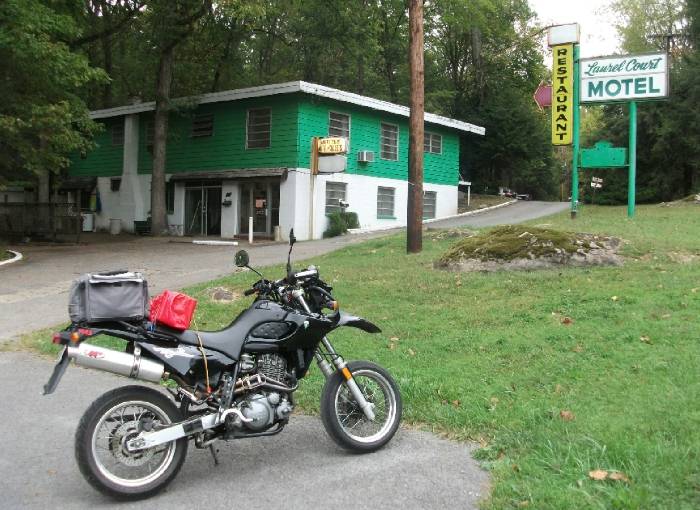
I continue on WV 15 north, a nice twisty road which takes me to Sutton. A nice motel near Sutton. Great if I needed a place to stay. Too bad I couldn't find a place like that yesterday.
Now I continue on US 19 North which takes me through an unusual place called Heaters. I could have used some of that today. It's cool along the way, but not cold, so I'm okay with my jeans, leather jacket and t-shirt underneath, but I'm ready to whip out the rain gear at a moment's notice. Fortunately I don't need it as it starts to get clearer as the morning wears on. This section of US 19 is a pretty fast road. Now I have a decision to make. I stay on US 19 as that's a more direct way home.
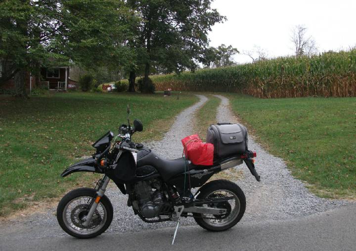
US 19 takes me through the Stonewall Park area, where I need to fill up and then towards Weston (remember that, from the beginning
of my trip?) Continuing on US 19 north of Weston, I pass Jane Lew and then decide to take some back roads as it's not yet noon, and by now I'm almost home anyway, so I might as well explore a few roads south of Clarksburg that I've yet to travel. I take Laurel Park Rd off US 19 which takes me through farmland and one of the few cornfields in West Virgina:
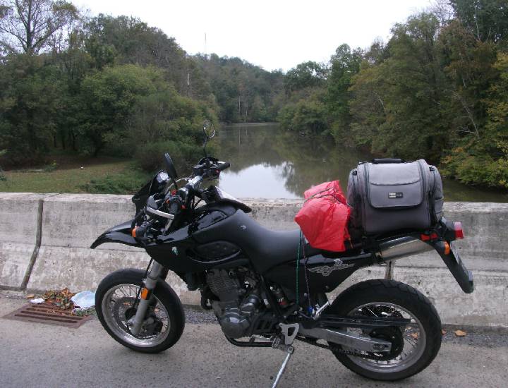
Then over a bridge.
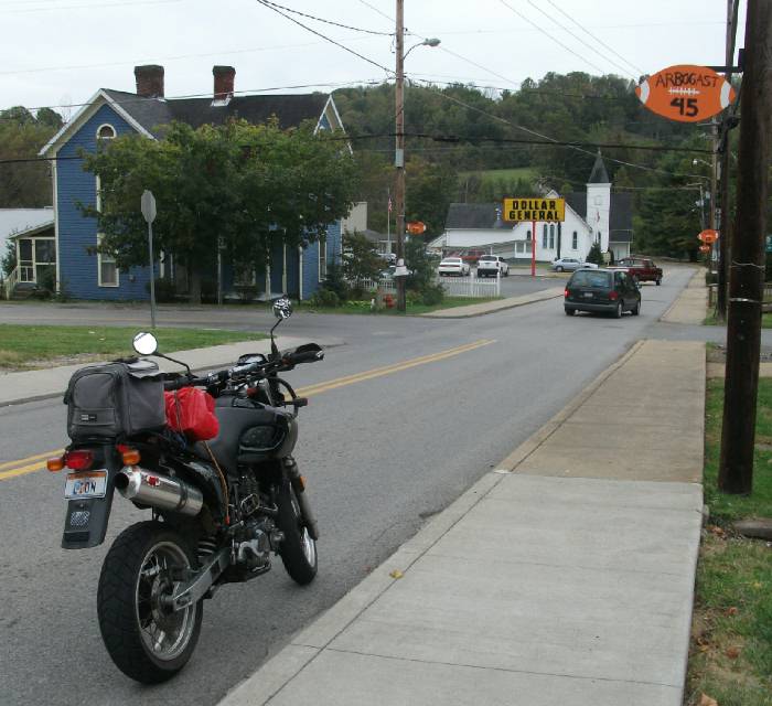
And then into West Milford, which seems to honor (idolize?) the local high school football team.
I then get WV 270 which takes me back to US 19, so I did another circle. This time I head north and pass Laurel Park Rd since I don't need to do the loop again, and instead take Country Club Rd which passes by a local golf course as you might expect. The road gets narrow and interesting, following the West Fork River.
Then a bridge crosses the river which I recognize instantly. I've never been across this bridge before but I've passed it all the time. Mt. Clare Rd is on the other side of the bridge. I've taken this road many a time to the Pyramid Valley MX Park. No I don't race, I just like to watch, I'm too old for that $h!t, LOL.
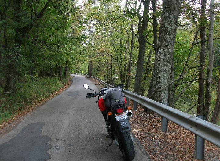
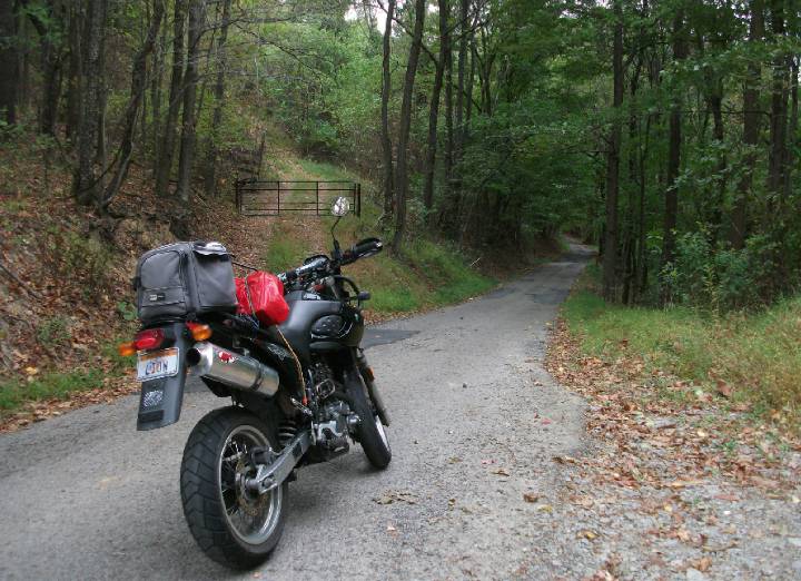
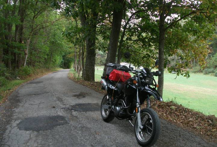
By now there isn't really any road I haven't been on, or is there? I take Mt. Clare Rd to WV 98 which takes me to WV 20 in Nutter Fort, then I head north, crossing US 50, and take Summit Park Rd which is a nice twisty road that empties out at Meadowbrook Mall. Instead of going all the way, there's this twisty one lane road called Jack Run which I need to explore. Over hill and over dale, this is really a narrow road, more suitable for a dirtbike
but okay for a motard.
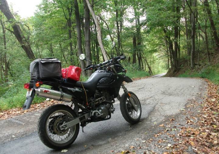
That's what I love about my bike. Powerful enough to blast down the twisty main roads, yet nimble enough to explore questionable back roads I'd never otherwise consider. It's a great compromise, my bike represents Nirvanna, if that's at all possible to achieve while riding. Now through some nice forest and meadow.
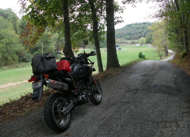
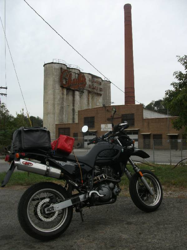
After discovering a couple dead ends, I finally figured a way out of this maze (I don't carry GPS) which empties me out in a rust-belt area of Clarksburg where the median home value looks to be something like $35,000. Not exactly the glamorous part of the city, it's got its fair share of shut-down factories which I'd like to explore another day. Here's a old glass factory, a testimony to bygone days, what Clarksburg was well known for.
With less than 15 miles from home, and nothing further to explore, I might as well make it home quick. I get on US 50, then I-79 which takes me back to home base. What a great trip. 3 days, 600 miles, and I'm tired. |
Page created Sep 28, 2010